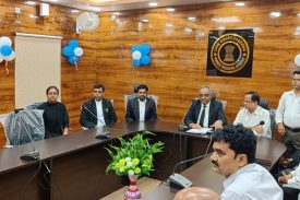
ABOUT DISTRICT COURT
Koderma district was created on 10 April 1994, after being carved out of the original Hazaribagh district. It is currently a part of the Red Corridor.
Koderma district lies in the Chhotanagpur Plateau at 397m above the sea level.The area exhibits undulating topography comprising hills, hillocks, plains and mounds. Northern part of the district is occupied by Koderma Reserve Forest. The highest peak is Debour Ghati (677 metre), which is the boundary of the State Jharkhand & Bihar.
The section line from South to North from Jharkhand to Bihar is passing through Hazaribag plateau. The rock at the edge of this plateau has been cut deeply by innumerable streams. There are number of hills & gullies of various types such as figure or shoe-lace gullies
Barakar River flows from West to East in the Southern part of the district of Koderma known as Telaiya Dam and supports Telaiya Hydel project, a multi purpose dam construction on it. River flows from West to East Poanchkhara, Keso, Akto, Gurio, Gukhana Nadi are the main tributaries of the Barakar river.
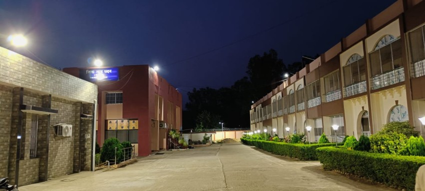
The Koderma judgeship was established on 26th June 2001.
Earlier to 2001 when Koderma judgeship was established, District judge used to sit in[...]
Read More


No post to display
Tender
- Quotation invited for purchase of 5 piece of Judgement box
- Quotation invited for purchase of 5 x 8 feet Carpet
- Quotation invited for purchase of 1.5 Ton Air Conditioner with stabilizer for Creach Room
- Quotation invited for purchase of Cleaning items
- Quotation invited for purchase of Cleaning items
- Quotation invited for purchase of books for Library of Civil Court,Koderma
- Quotation invited for purchase of Pushback chair
- Quotation invited for purchase of 350 packet Legal Size paper
- Quotation invited for purchase of Stationary items
- Quotation invited for purchase of Room Heater for Family Court and Civil Court,Koderma
eCOURT SERVICES

CASE STATUS
CASE STATUS

COURT ORDER
COURT ORDER

CAUSE LIST
CAUSE LIST


